
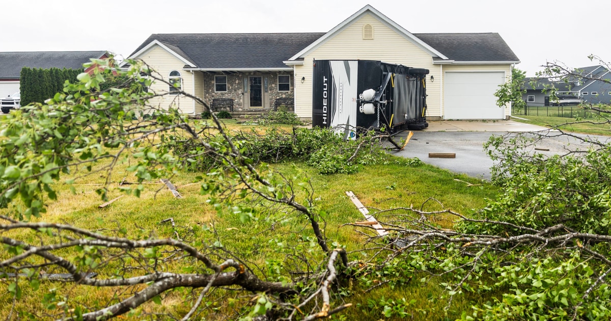
Dangerous heat and humidity are bearing down on the Northeast on Thursday, following a surge of more than 350 storms on Wednesday — one of the stormiest days of 2026 so far.
Subscribe to read this story ad-free
Get unlimited access to ad-free articles and exclusive content.
An estimated 92 million people are at risk for severe weather across two regions: from the Great Lakes to the Central Plains, and from the Mid-Atlantic to the Northeast. Storms could bring wind gusts up to 75 mph, destructive hail up to 2 inches in diameter, and the possibility of tornadoes.
Major cities that these storms could impact include Chicago, St. Louis, Kansas City, Tulsa, Oklahoma City, Detroit, Washington, D.C., Philadelphia, and New York City.
The National Weather Service office in the Philadelphia area warned on X that storms could produce damaging wind gusts and brief but intense downpours.
On Thursday, the NWS also issued a tornado warning in Lincoln, Illinois, after a severe thunderstorm capable of producing a tornado was spotted near Dalton City. Officials warned that flying debris could pose a serious threat to anyone without shelter, with damage to roofs, windows, and vehicles likely, along with significant tree damage.
The threat of severe thunderstorms also brings a risk of flooding. Nearly three million people are under Flood Watches across parts of Iowa, Illinois, and a small portion of northeast Missouri through Friday.
The severe weather comes just days after flooding put 13 million people under flood watches and triggered widespread power outages. At one point, 35,000 customers were without power Tuesday afternoon.


Leave a Reply