
A quick-moving storm is moving into northern Minnesota and Wisconsin from Canada on Tuesday and is expected to move over the Great Lakes dumping between 3 to 6 inches in the region.
The brief storm is expected to move into the Northeast around midnight on Wednesday and reach Pittsburgh around 1 a.m. followed by Philadelphia and New York City by around 5 a.m.
Snow will end for Philadelphia and New York City a few hours later at approximately 11 a.m. on Wednesday, while snow should end around 1 p.m. in Boston with a few lingering snow showers will last through the night over interior New England.
All three cities should expect no more than an inch of snow to accumulate, including Rhode Island as they continue to dig out of their 2.5 feet of snow from Monday.
Further inland, however, 1 to 3 inches of snow could be possible with higher elevations in the Northeast seeing up to 3 to 6 inches of snow.
Elsewhere, a storm currently in the Pacific Northwest will move across the country in the coming days and is expected to be shoved south by high pressure over the northern U.S. as it moves east.

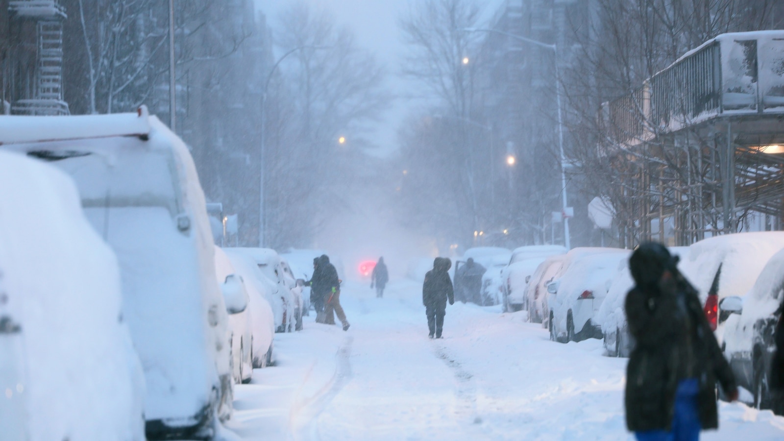
People walk along snow covered streets as snow falls during a blizzard on February 23, 2026 in New York City.
Michael M. Santiago/Getty Images
This will lead to rain over the upper South on Thursday morning, with heavy rain possible for Kentucky and Tennessee and east through North Carolina.
On Thursday evening, that rain could be heavy over Tennessee as the storm moves north along the mid-Atlantic into Virginia, Delaware and Maryland.
By about 9 p.m. on Thursday, there is a chance this moisture is in line somewhere between Washington, D.C. and New York City with the potential of a wintry mix that could make roads slick.
If temperatures drop low enough, snow is also possible Thursday night for the region between Washington, D.C. to New York City. This could lead to a few inches of wet snow for the New York area, northern New Jersey and eastern Pennsylvania by Friday morning.
The system is expected to move out of the area by midday on Friday and, by the afternoon, the weather could dry and slightly warmer with highs in the upper 30s.
Temperatures will reach the upper 30s and lower 40s this week in New York City and Boston as well, meaning some of the snow that has blanketed the region could begin to melt with some refreezing possible overnight.


Leave a Reply